Spatial Web Experiments
d3 | FlatGeobuf | GeoTIFF | GPKG | MBTiles | PMTiles | SQlite
MBTiles Web Map
A web map using vector tiles served from mbtiles.
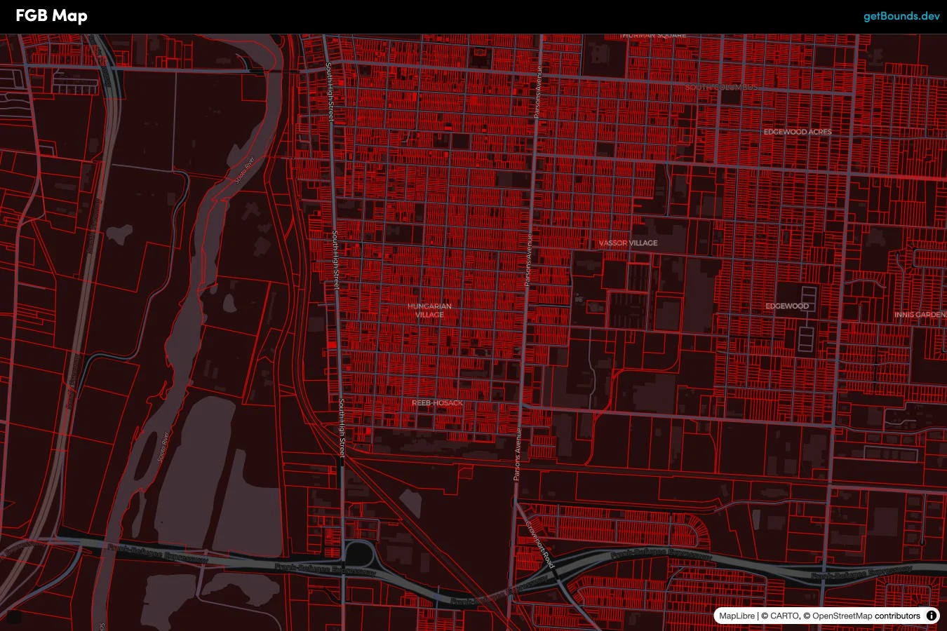
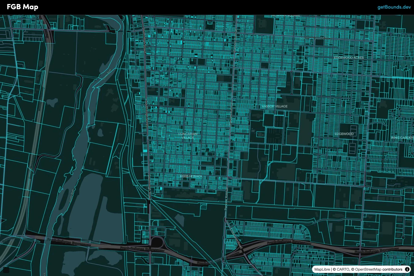
FlatGeobuf Web Map
A web map using vector tiles generated on-the-fly from a flatgeobuf file.
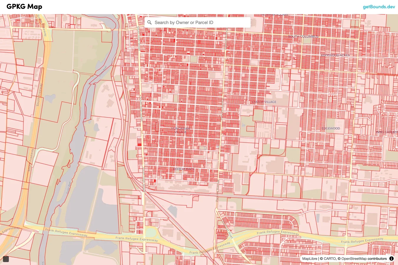
Geopackage Web Map
On-the-fly vector tiles plus text search from a 6.3 GB geopackage file.
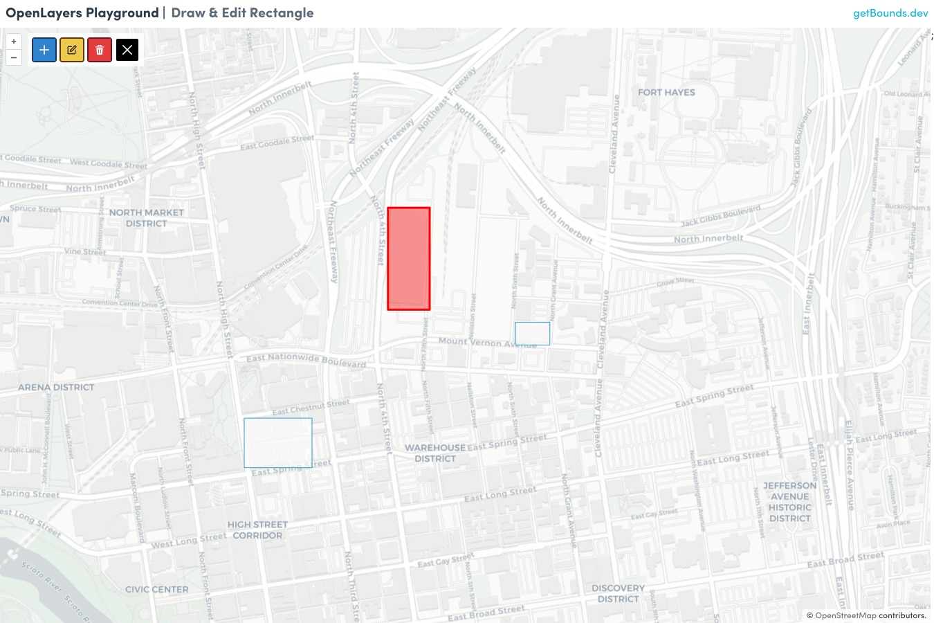
OpenLayers Draw & Edit Toolbar
A React Toolbar for drawing and editing rectangles (bounding boxes) in OpenLayers.
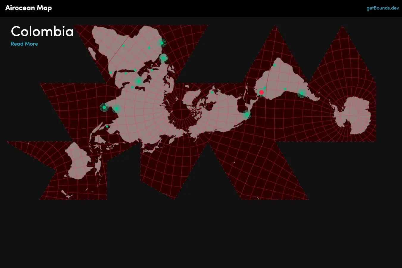
Airocean Projection Map
Forked from Observable with added mouse events, inspired by Progressive International.
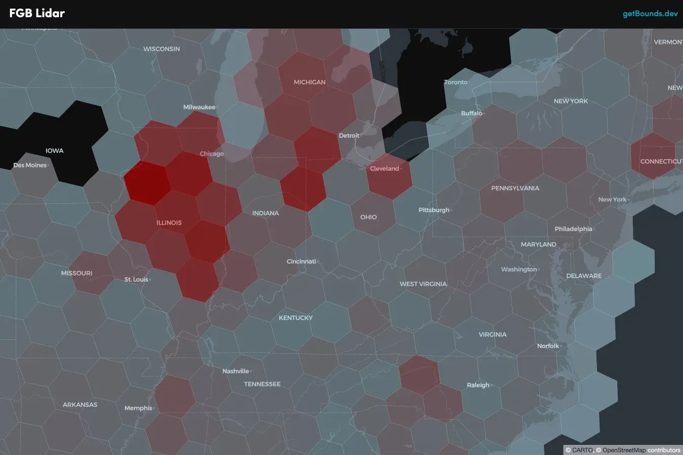
Flatgeobuf h3 Grids
Small-scale spatial data indexed to h3 grids and served via Flatgeobuf.